- Environmental graphic design helps people understand and navigate large developments without relying solely on maps or signage.
- Effective wayfinding systems improve user experience, operational efficiency, and the overall perception of a place.
- In townships, mixed-use developments, and large estates, environmental graphic design transforms complexity into clarity.
People rarely think about environmental graphic design when moving through a township, mixed-use district, or large commercial development. They simply expect to know where they are, where they need to go, and how to get there. When navigation feels effortless, the system is often invisible. When it fails, confusion quickly becomes part of the experience.
Decoding large developments through environmental graphic design reveals how architecture, planning, branding, and wayfinding work together to create places that people can understand. In large-scale projects where multiple destinations, roads, buildings, and user groups intersect, environmental graphic design serves as a layer of spatial communication that helps transform complexity into clarity.
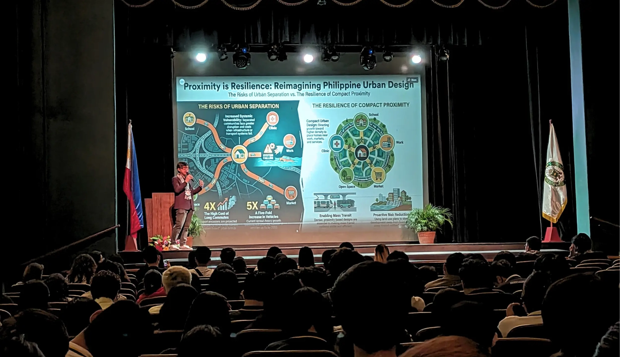
As Philippine townships, integrated communities, and mixed-use estates continue to expand, legibility becomes increasingly important. The success of a place depends not only on what is built but also on how easily people can navigate, understand, and use it.
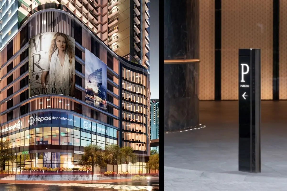
Beyond Signage and Directional Arrows
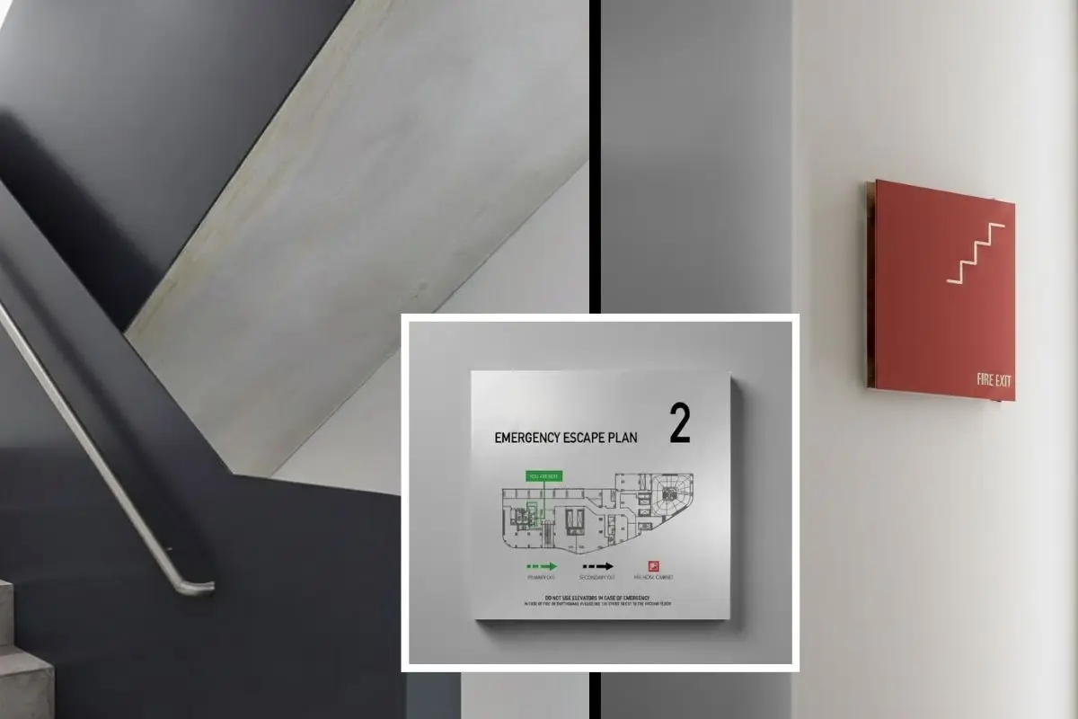
Environmental graphic design is often reduced to signs, maps, and directional markers. In reality, it is a broader discipline concerned with how people interpret and move through space.
A well-designed environmental graphic system communicates information before users consciously begin looking for directions. Street naming systems, district identities, landmark placement, color coding, gateway elements, and visual hierarchy all contribute to orientation.
The objective is not simply to tell people where to go. The objective is to help them understand where they are.
When environmental graphic design is integrated early into planning and architecture, navigation becomes intuitive. People develop mental maps of a place more quickly, reducing frustration and increasing confidence as they move through the environment.
Why Large Developments Become Difficult to Navigate
Many large developments become harder to understand as they grow. New phases are added. Road networks expand. Additional buildings are introduced. Different uses begin operating simultaneously within the same environment.
What may have started as a simple master plan can gradually become difficult for visitors, residents, and even tenants to interpret.
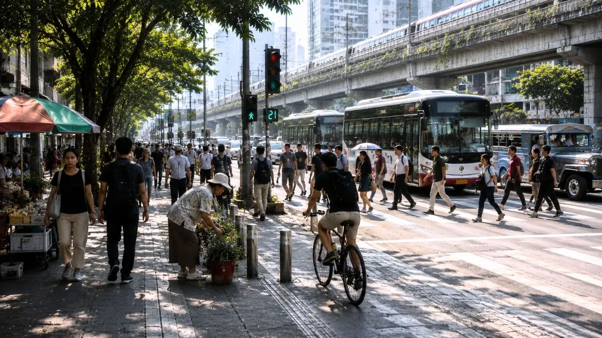
Townships often contain residential districts, commercial centers, office buildings, schools, parks, hospitality facilities, and transportation connections. Each destination serves different users with different expectations and movement patterns.
Without a coherent environmental graphic strategy, wayfinding systems become reactive. Additional signs are installed whenever confusion appears. Over time, this often creates visual clutter rather than clarity.
Effective environmental graphic design addresses legibility at a systems level rather than relying solely on more signage.
Making Townships Legible at Scale
Legibility refers to how easily people can understand and navigate an environment.
In large-scale developments, legibility often begins with planning rather than graphics. Road hierarchy, district organization, view corridors, gateways, landmarks, and public spaces all contribute to how people build mental maps. Environmental graphic design reinforces these spatial relationships and helps users understand how different parts of a development connect to one another.
A visitor entering a township should quickly understand their location within the larger environment, recognize the character of the district they have entered, identify key destinations, and develop confidence in how the overall development is organized. The strongest systems achieve this through consistency. Signage, mapping, district identities, building numbering systems, and digital navigation tools all communicate the same organizational logic.
When planning and environmental graphics work together, even large developments become easier to understand despite their scale.
The Relationship Between Architecture and Wayfinding
Architecture itself plays a significant role in navigation.
People often orient themselves through memorable buildings, public spaces, landscape features, and visual landmarks. Environmental graphic design works best when it complements these spatial cues rather than competing with them.
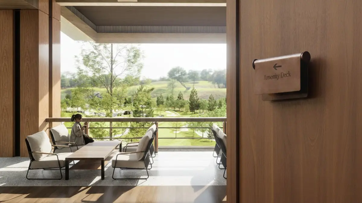
A distinctive clubhouse, a civic plaza, a hotel tower, or a major park can become part of a wayfinding strategy. These elements help users build spatial memory and understand their location within a larger system.
This relationship becomes particularly important in mixed-use environments where users may arrive for different reasons. Residents, employees, visitors, hotel guests, shoppers, and service personnel often move through the same development in different ways.
Environmental graphic design helps create a shared understanding of place despite these varied experiences.
User Experience as Infrastructure
Wayfinding is often treated as a finishing layer applied near project completion. In reality, it functions as a form of infrastructure.
Poor navigation creates operational challenges. Visitors arrive late. Deliveries become inefficient. Parking becomes confusing. Customer experiences suffer. Property management teams spend additional time answering directional questions that the environment itself should communicate.
By contrast, clear environmental graphic systems improve efficiency across the entire development.
People move more confidently. Destinations become easier to find. Public spaces become more comfortable to use. The development feels more organized and better managed.
These outcomes influence how people perceive quality, even when they are unable to identify exactly why a place feels easy to navigate.
Environmental Graphic Design and the Future of Philippine Developments
As Philippine developments become larger and more complex, environmental graphic design will continue to play an increasingly important role.
Future townships, mixed-use districts, innovation hubs, educational campuses, healthcare environments, and hospitality destinations will require systems that help diverse user groups navigate confidently across expanding environments.
The challenge is no longer simply building destinations. It is creating places that people can understand.
Decoding large developments through environmental graphic design reveals that navigation is not merely a functional concern. It is part of how people experience architecture, planning, and place itself. The most successful developments are not remembered because they contain the most signs. They are remembered because they make complexity feel effortless.
Environmental graphic design is the discipline that combines architecture, planning, branding, and wayfinding to help people understand and navigate physical environments.
No. Signage is only one component of environmental graphic design. The discipline also includes spatial communication, district identity, mapping systems, landmarks, and wayfinding strategies.
Large developments contain multiple destinations and user groups. Environmental graphic design helps create clarity, making it easier for people to navigate and understand the overall development.
The most effective environmental graphic systems are integrated early in planning and design rather than added near project completion.
Large developments succeed when people can understand and navigate them with confidence. At Fulgar Architects, we integrate planning, architecture, placemaking, and user experience into environments that remain clear, functional, and memorable at every scale. Explore our architectural services or connect with our team to discuss township, mixed-use, hospitality, and master planning projects throughout the Philippines.